Bird & bat monitoring,
finally simplified.
The complete PCFM pipeline — carcass searches, searcher efficiency trials, and carcass persistence trials captured in the field, then exported GenEst-ready. No middleware, no manual reformatting.
Full PCFM data collection. GenEst-ready analysis.
One platform.
Every piece of the PCFM workflow — carcass searches, SE trials, and CP trials — flows straight into GenEst-compatible CSV exports. No middleware, no spreadsheet reformatting, no lost hours before you can run mortality estimation.
Full PCFM data collection
All three PCFM study types captured in the field with the same offline mobile app. GPS-tagged, photo-linked, and synced when connectivity returns.
- Carcass searches
- Searcher efficiency (SE) trials
- Carcass persistence (CP) trials
Live dashboards, same day
Sightings, curtailments, and trial progress appear as soon as field devices sync. Filter by date, species, or turbine without waiting on anyone's spreadsheet.
- Real-time carcass & trial data
- Threatened species email alerts
- Search coverage analytics
The complete GenEst input bundle
One click produces every CSV GenEst needs — each shaped exactly for ingestion. Drop them straight in; zero reformatting, zero column renaming, zero lost hours before mortality estimation.
- SE — Searcher Efficiency
- CP — Carcass Persistence
- SS — Search Schedule
- CO — Carcass Observations
- DWP — Density Weighted Proportion
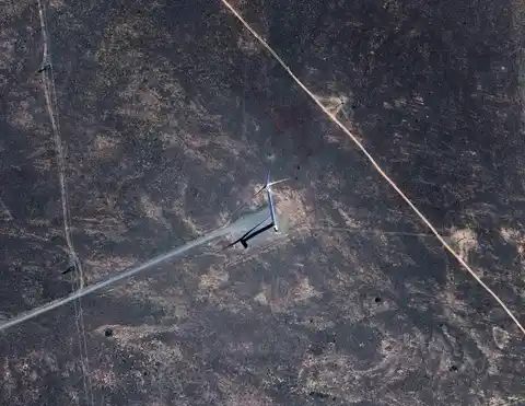
Carcass searches, digitized from day one
Observers open the app, start a search session, and walk their route. GPS tracks continuously in the background. When they find a carcass, they tap to record species, condition, and photo evidence — all linked to the session automatically.
Continuous GPS tracking
Background location recording during the entire search session, even with the screen locked.
Photo evidence, auto-linked
Photos attach to the correct carcass record instantly. No more digging through camera rolls to match photos to paper forms.
Works fully offline
No signal? No problem. Everything is stored on-device and syncs when connectivity returns.
SafeTurbines
Carcass Search

Carcasses Found (2)
Red-tailed Hawk
Hoary Bat
Carcass Search Sessions
Showing 1–20 of 2,488
See what's happening across your sites today
The moment field data syncs, it populates your dashboard. No waiting for paper forms to be transcribed. No chasing observers for missing submissions. Your entire team sees the same data, instantly.
Live dashboards
Sightings, curtailments, and carcass data populate as soon as field devices sync.
Threatened species alerts
Automatic email notifications when a threatened or endangered carcass is found.
Filter and export
Filter by date, species, turbine, or observer and export CSVs for reporting.
Know exactly where your coverage gaps are
SafeTurbines turns GPS routes into coverage analytics. See which turbine zones are under-searched, track search effort over time, and redirect teams before compliance targets slip.
Search coverage heatmaps
Satellite overlays showing exactly which zones have been searched and which have been missed.
Coverage efficiency reports
Track the distribution of search effort across turbines and time periods to meet annual compliance targets.
Interactive turbine maps
Explore your farm visually with GPS overlays showing search routes, sighting locations, and carcass finds per turbine.
Search Coverage Heatmap
Birds and bats, tracked separately
Both wildlife types are tracked as distinct categories throughout the entire platform — from field collection to species-specific reporting. Your team records species data for each, and dashboards break results down accordingly.
Bird + Bat
Tracked separately
Birds and bats tracked as distinct categories from field collection through to reporting.
Real-time
Endangered alerts
Automatic notifications the moment a threatened or endangered species carcass is recorded.
Per-species
Reporting
Dashboards and exports break down results by species, wildlife type, turbine, and time period.
Ready to modernize your PCFM program?
See how SafeTurbines can replace your current workflow with a complete, purpose-built platform.
Get in touch